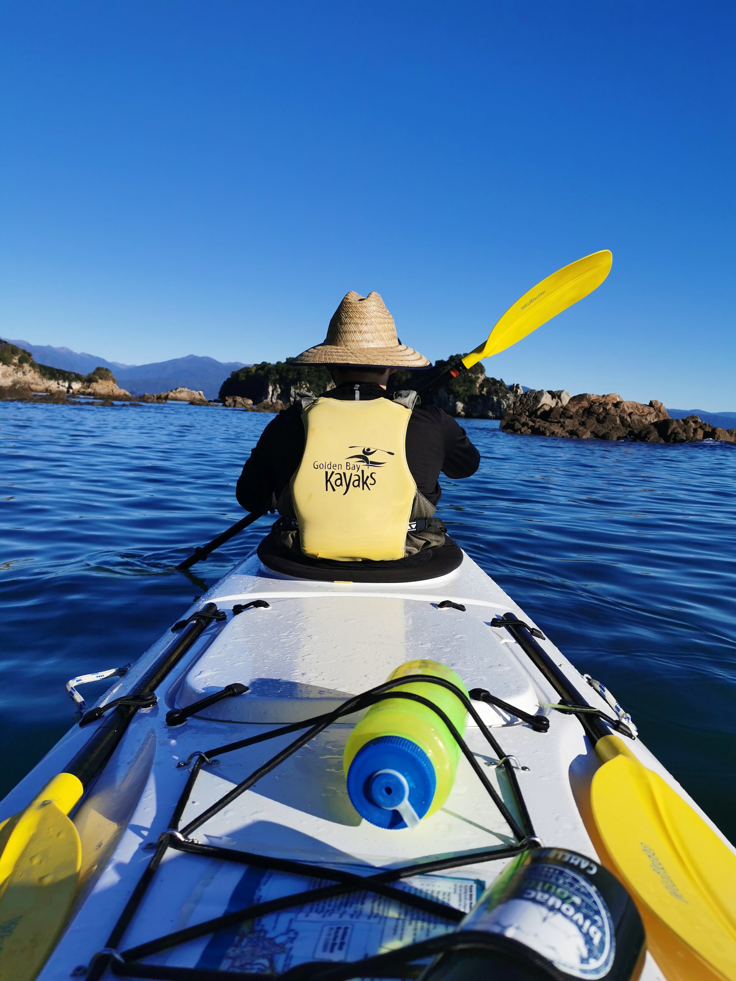
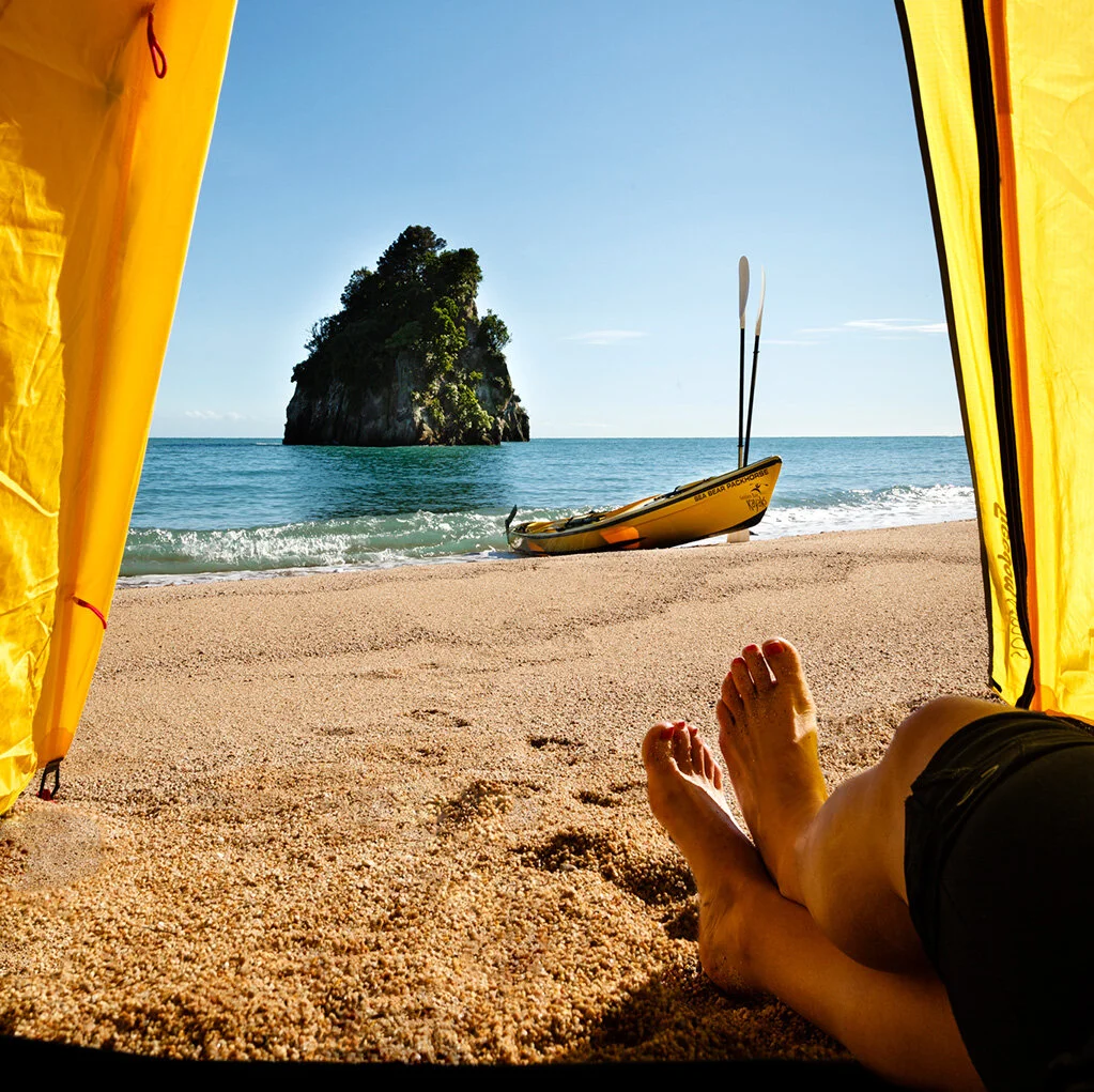
[sea kayaking the length of the Abel Tasman National Park]

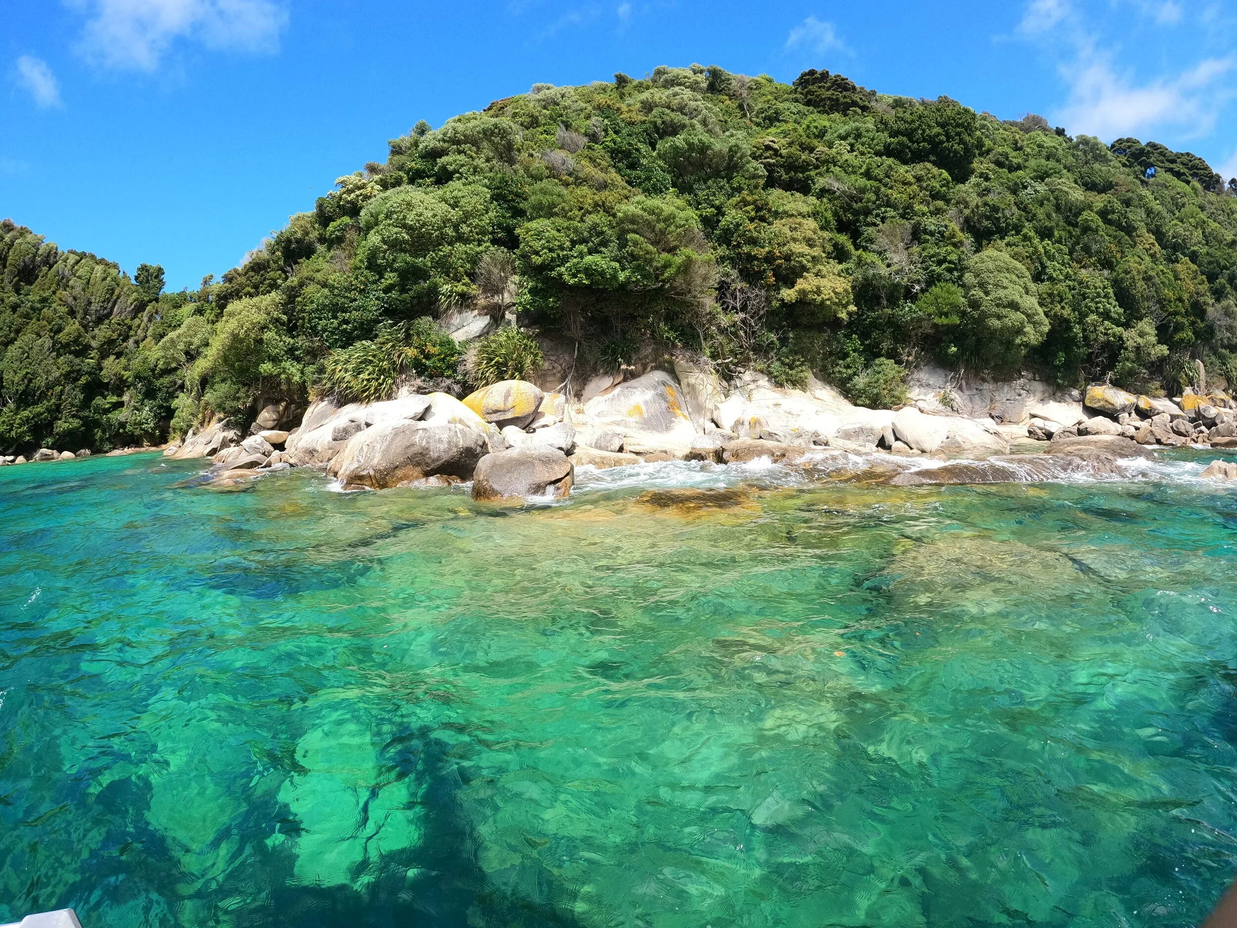
Exploring Motu Island. Tata Islands, Abel Tasman National Park.
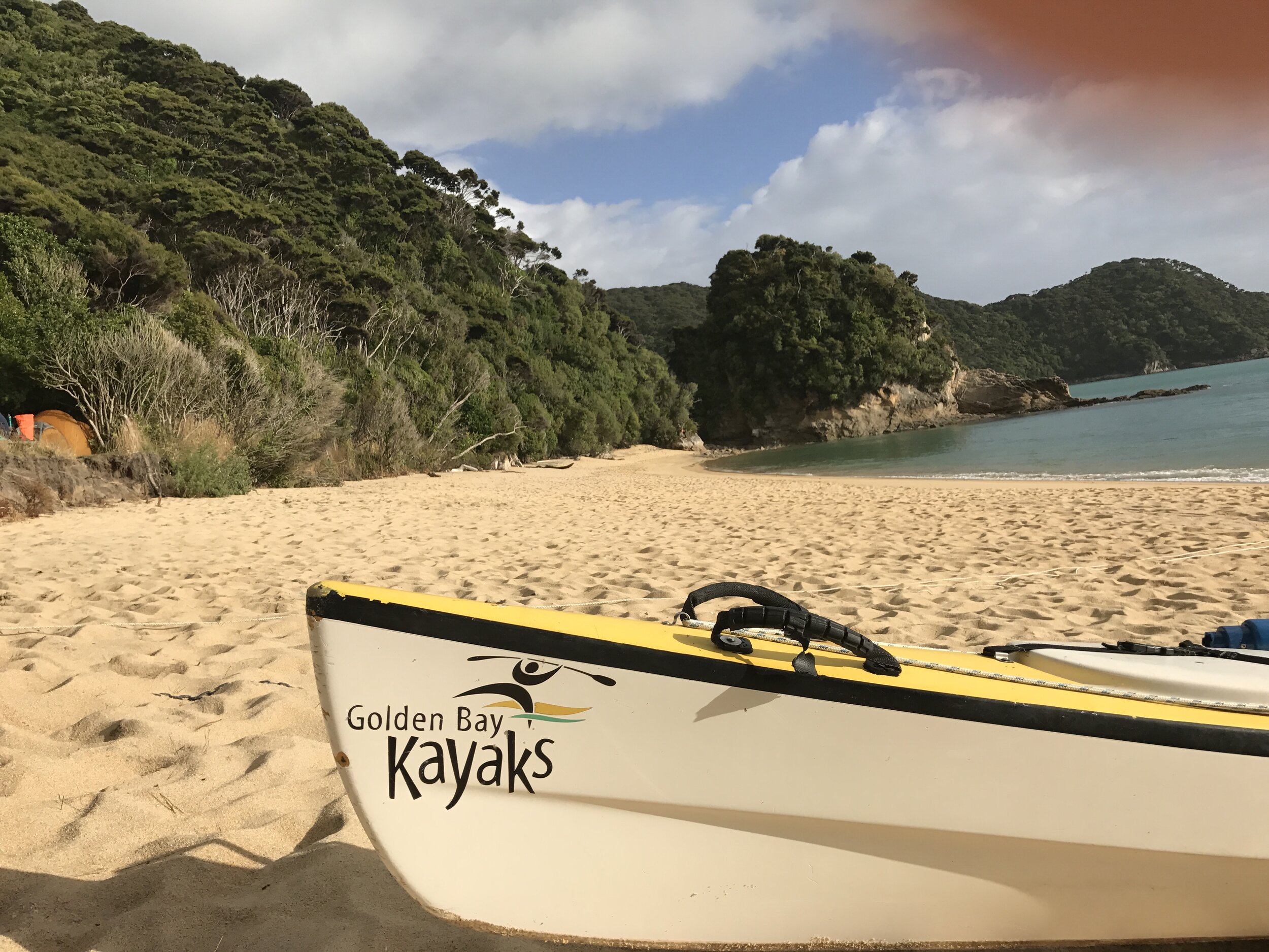
A bucket list adventure and one of New Zealand’s most iconic adventures is sea kayaking the length of the Abel Tasman National Park, starting from the beautiful Tata Beach and finishing at the southern end of the park at the small coastal village of Marahau.
Abel Tasman is New Zealand's smallest national park, to kayak the entire length takes around 11-13 hours paddle time in a sea kayak. With the many bays, estuaries and beaches to explore a minimum of 2 nights and 3 days is what you should spend, of course the journey deserves as much time as you can give it.
This sea kayaking trip is suitable for those with kayaking and outdoor experience. You will need a good understanding of weather conditions, be physically fit and be able to look after yourself in the great outdoors. Always check the marine weather forecast before you head out. NZ Metservice Marine
When Sea kayaking all of the coastline around the Abel Tasman National Park, expect hazards such as weather changes, waves, wind and rocks. And from Totaranui to Marahau, the biggest hazard on your journey is the water taxi’s of which there are many, travelling fast and travelling close…
Getting to Tata Beach… a few options:
Golden Bay Air: They are flights into the Takaka Aerodrome from Wellington and Nelson. They run a shuttle service as well.
Destination Tasman: Chrissy and her team can pick you up from your accomodation in Nelson and pick you up. They are also able to pick you up from Marahau. Contact us for more details.
Scrambled Legs: A dedicated adventurers shuttle bus service. Great team, great service.
Drive over the hill. From Nelson it is around a 2hr drive. Once in Takaka we have a great selection of cafes, supermarkets.
Here is a list of some of the campgrounds that we enjoy, the distances are approximate. Remember to purchase your campsite or hut passes before you leave from the Department of Conservation website https://bookings.doc.govt.nz/Web/
Taupo Point, Abel Tasman National Park
Tata Beach to Mutton Cove. 12km.
Mutton Cove is one of our favourite campsites, it is where you watch the full moon come up, the early morning sunrise and the baby seals from the nearby nursery playing in the waves, all while laying in you tent!
On the way to Mutton Cove, a great morning tea spot is Taupo Point, is the site of the most important Pa on the eastern side of Mohua, once occupied by the iwi Ngāti Tumatakokiri, it is one of the most beautiful beaches in the park . In 1642 Abel Janzoon Tasman sailed into Golden Bay, the meeting didn't go well with Ngāti Tumatakokori, resulting in the loss of life and the Dutch sailor naming the bay Murders Bay. Taupo Point is where NZ’s oldest maritime archaeological site is found, a waka boat ramp which is located on the southern side of the point and can be seen at low tide.
Wharawharangi is an old farm. The historic homestead has been converted into a DOC hut and there is also camping available here. Surrounded by old Macrocapa Trees, cattle yards and farming relics from the past, it is an interesting, beautiful place to explore.
Separation Point/Te matau is the headland that separates the waters of Tasman and Golden Bay. However this is not where its name originates, after a few attempts of the Gwondwana plate separation, this is where New Zealand and Australia finally departed ways, giving up the snakes and keeping the kiwi’s!
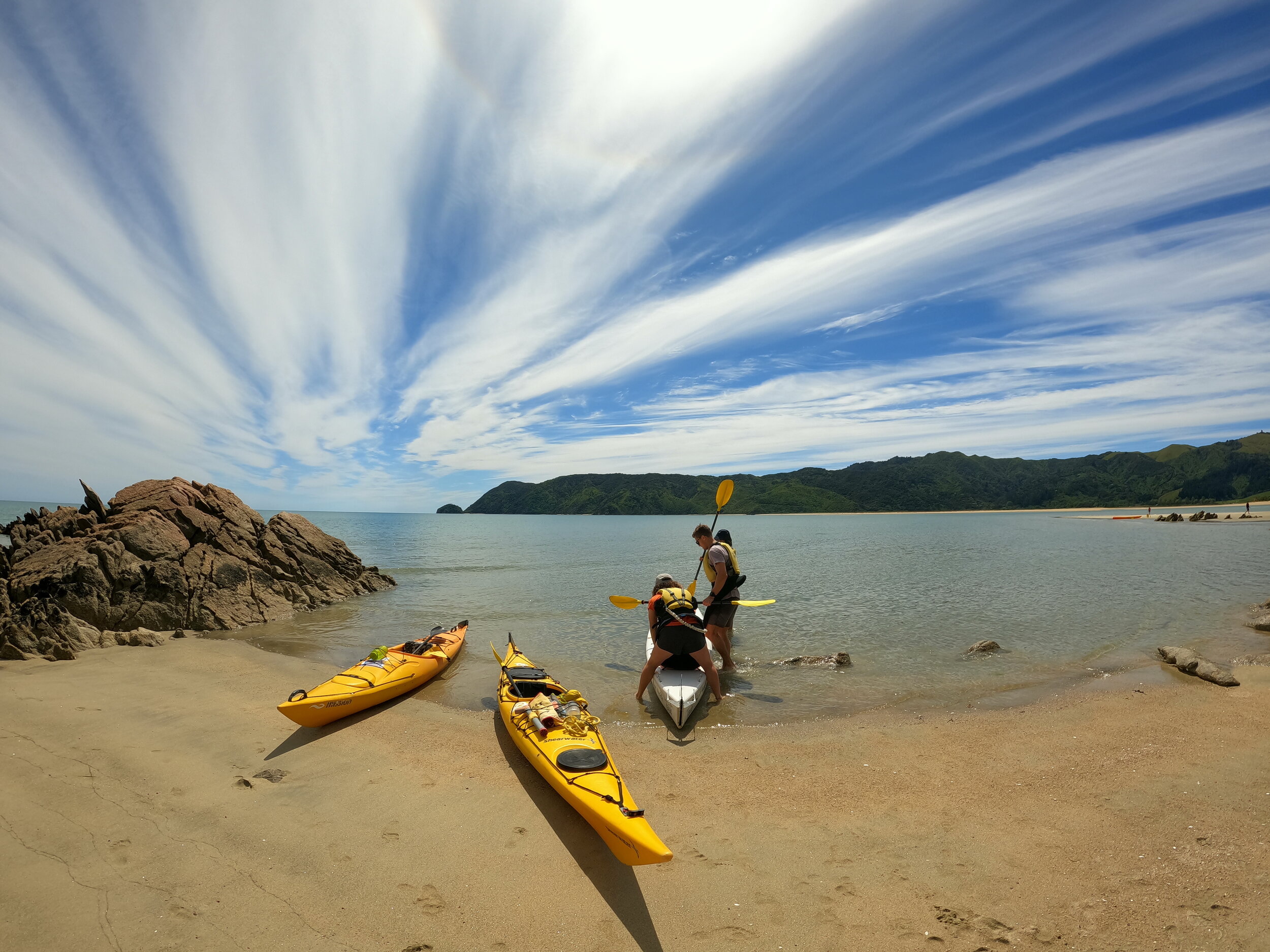
Separation Point is the first headland/crux of the trip. It is a useful headland if you have a westerly chasing behind you for protection. (There are 3 headlands/cruxes in this trip. Separation Point, Awaroa Heads and Pitt head, all need to be treated with caution).
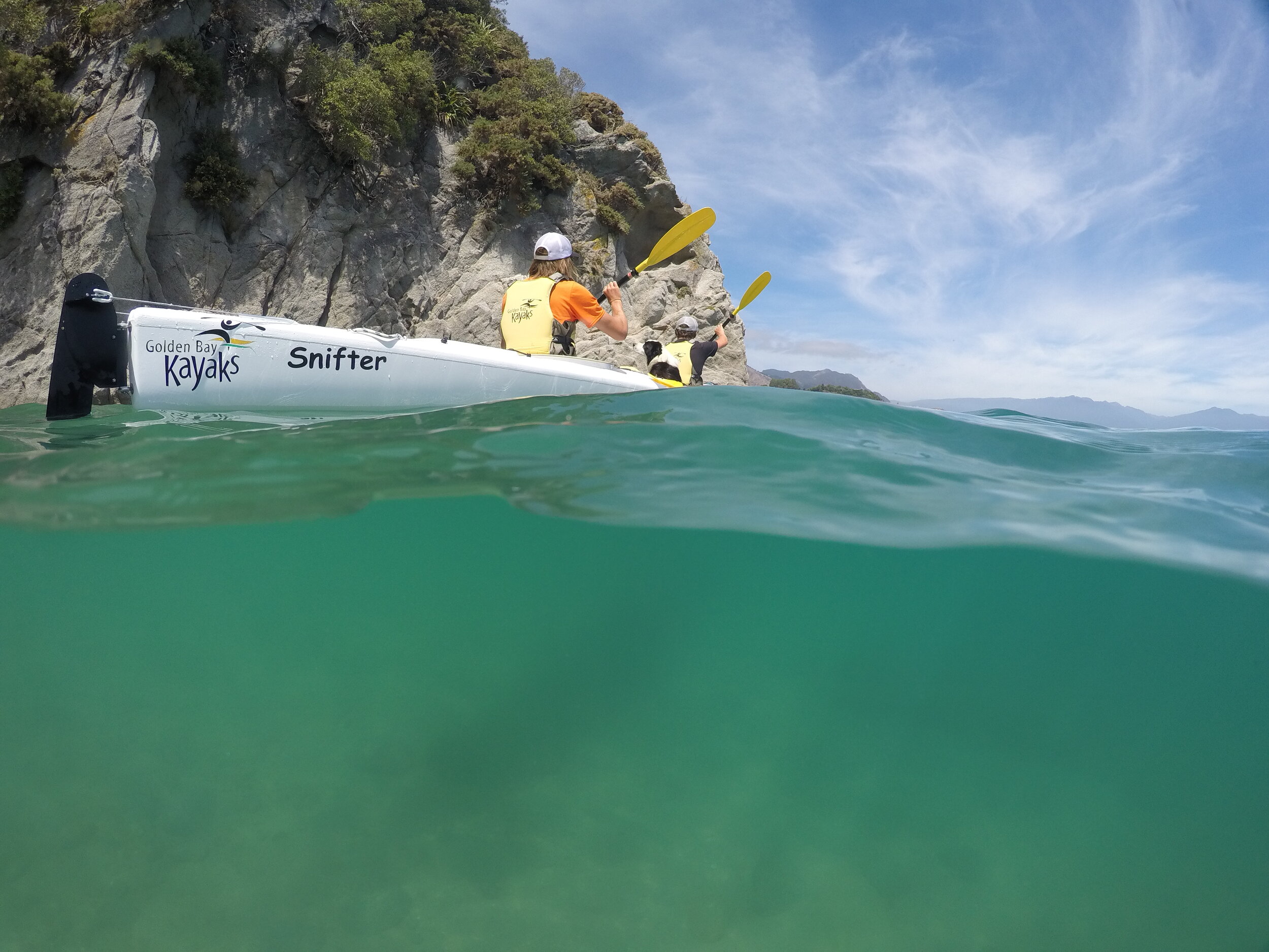
The dramatic coastline from Tata Beach to Mutton Cove is one of the best sea kayak destinations in NZ, the large granitic cliffs, healthy seal colonies, clear water, it is a place wonderment.

Getting ready at Mutton Cove, Abel Tasman National Park.
Mutton Cove to Awaroa. 9km.
Kayaking passed rocky outcrops and beautiful beaches, as you round the headland into Tōtaranui, you will kayak under towering giants of the last remaining virgin bush in the park, called the Tōtaranui bush block. These are the trees that drove Perrine Moncrieff and her associates to push for the creation of the national park.
The Tōtaranui Campground is the largest in the park and is popular in the summer, it has 269 campsites.
Waiharakeke is situated at the head of the Awaroa Inlet. It is the perfect spot to camp if you are wanting to tackle the Awaroa Headland early the next morning. This is a lovely little white sand beach with a campsite tucked away in the trees.
The Abel Tasman has many private settlements, Awaroa is one of these. There is around 50 baches, accomodation and a restuarant. It is historically an important area
Awaroa Hut and Campground is a very tidal option, so work out the tides before you book your campsite here.
Metservice Tides. For the Abel Tasman Tides use Tarakohe
If you are looking for another option to camping check these out:
Awaroa Lodge: 11 Awaroa Bay, Awaroa. 4 star hotel accomodation and a restaurant
Awaroa Glamping: 53 Awaroa Bay, Awaroa. A premier glamping location.
Awaroa to Mosquito Bay. 13km.
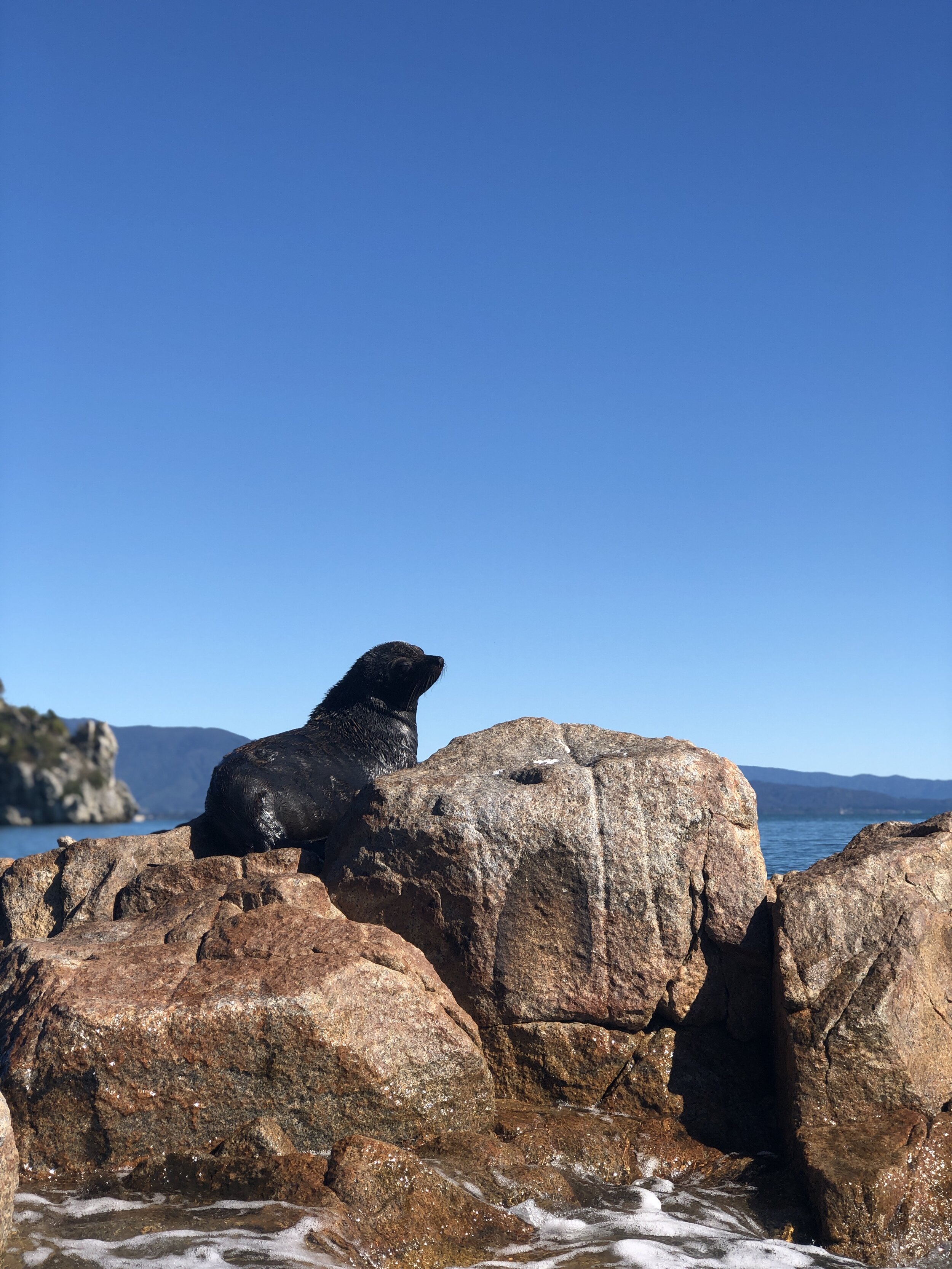
Give yourself plenty of time to explore this 8km long headland(check the weather before you take your time). This ever changing coastline, a highlight for many is Shag Harbour, this is a hide out for seal pups to play!
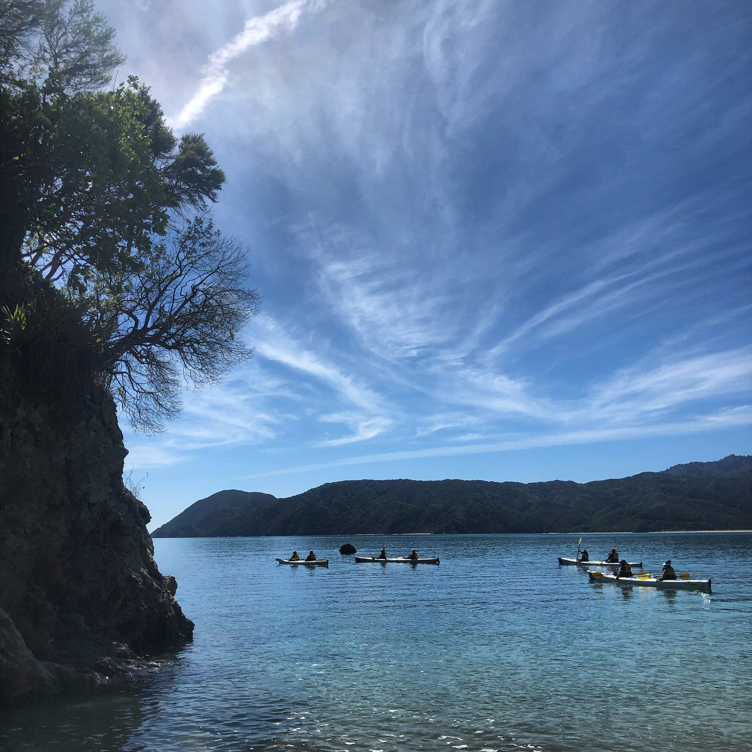
The Tonga Marine Reserve is in the heart of the park. The coastline around Tonga Island is nice to explore, with little coves for seal nurseries and clear blue water.
The Mosquito Campground experienced a lot of damage during Cyclone Fehi in 2018. The inlet is guarded by a little island, a charming place to camp and explore. It is a fabulous place for the kids, a great area for playing cricket or digging holes when the tide is out!

Seal pups @Shag Harbour. Abel Tasman National Park

Mosquito Bay, Abel Tasman National Park.
Mosquito Bay to Te Pukatea.10km
The charm of the Abel Tasman continues. This stretch of the trip has so many charming places to explore, the tranquility of the Falls River, Sandfly bay and a lot of beaches to explore. Or maybe you would like to stretch your legs and hips, go explore Cleopatras Pool.
Te Pukatea is a small campsite of 7, a golden beach that is drenched in sunshine late in the day makes it one of the warmer campsites in the southern end.

Te Pukatea to Marahau. 10km
The final stretch and the last crux of the trip is Pitt Head and into the infamous mad mile. On certain weather forecasts this can be very rowdy with rocky headlands, tide and waves.
The highlight is Adele Island. The Birdsong Trust is a charitable trust that started in 2007, ‘to once again fill our forest and beaches with birdsong’. With the support of the Department of Conservation and Project Janszoon and a mammoth effort by volunteers, it is encouraging to see the results. It is worth pulling the boat up and exploring the walking track on the island and experiencing how New Zealand could sound without the predators.
Useful websites:
Project Janzoon: Project Janszoon is a philanthropic trust on a mission to restore and preserve the Abel Tasman’s rich wildlife for all to enjoy. It is a team effort involving conservationists, iwi, locals, scientists and tourism operators. Their interactive website with cameras, information and history is worth exploring.
Metservice Marine Is the choice of weather websites to use, use Abel Tasman.
Department of Conservation: Click here to book your hut or campsites.